Grindelwald First to Schynige Platte Hike via Faulhorn
The hike from Grindelwald First to Schynige Platte is a long but spectacular traverse with huge Bernese Oberland views. Here’s the route and logistics.
Published
September 28, 2024
Updated
September 25, 2026
Destination
Europe · Switzerland
Quick facts
Hiking time
About 6 hours
Including lunch and the First Cliff Walk detour
Difficulty
Moderate to challenging
17 km high-alpine point-to-point hike
Transport
Train
Zürich HB → Interlaken
Train
Interlaken → Grindelwald
Gondola
Grindelwald → Grindelwald First
📍 Location
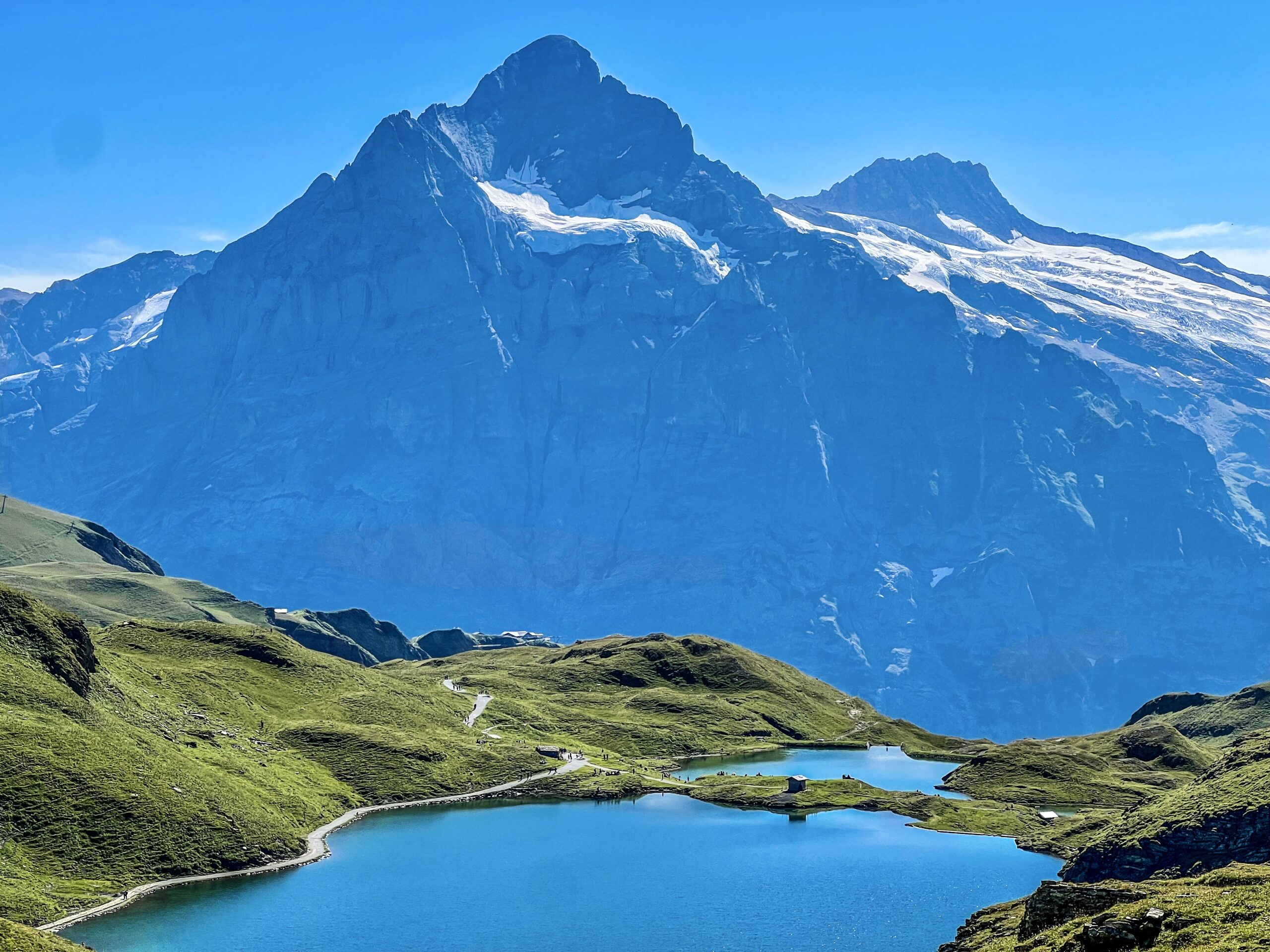
This stunning hike is situated in the Bern canton, in the heart of Switzerland. The trail’s highest point, Faulhorn, reaches an impressive 2.618 meters, offering breathtaking panoramic views of the Alps.
🚂 Accessing Grindelwald First by Public Transport
Grindelwald First is easily accessible from Zürich HB, making it a perfect day trip if you’re staying in the city. The journey takes approximately 3 hours and 15 minutes. For an early start, I recommend catching a 7:00 am train, allowing you to begin the hike around 10:15 am. Here’s the exact connection I used on August 27, 2024:
🚂 07:02 Zürich HB – 07:58 Bern 🚂 08:04 Bern – 08:58 Interlaken-Ost 🚂 09:04 Interlaken-Ost – 09:40 Grindelwald Bahnhof 🚌 09:44 B121 Grindelwald Bahnhof – 09:47 Grindelwald Firstbahn 🚠 25 minutes by gondola to First
I completed the 17 km trail in about 6 hours, including a lunch break and a quick detour to the famous First Cliff Walk. The weather in late August was beginning to cool, but still pleasant enough for hiking. Although I didn’t swim in the alpine lakes due to time constraints, it’s a great option to consider if you’re feeling adventurous!
Be mindful of your return trip, as trains descending from Schynige Platte can be infrequent. Here are the last two departures: 🚂 17:01 Schynige Platte – 17:53 Wilderswil (🚂 Train to arrive back in Zürich HB at 20:28) 🚂 17:53 Schynige Platte – 18:45 Wilderswil (🚂 Train to arrive back in Zürich HB at 20:58)
For efficiency, I hiked the trail in reverse, starting at Grindelwald First and ending at Schynige Platte, which saved time on the elevation gain. Keep in mind that the Firstbahn gondola closes at 17:30, so plan your hike accordingly if you prefer the traditional route.
🥾 The trail
Distance: 17 km Elevation Gain/Loss: 900 m up, 1.100 m down
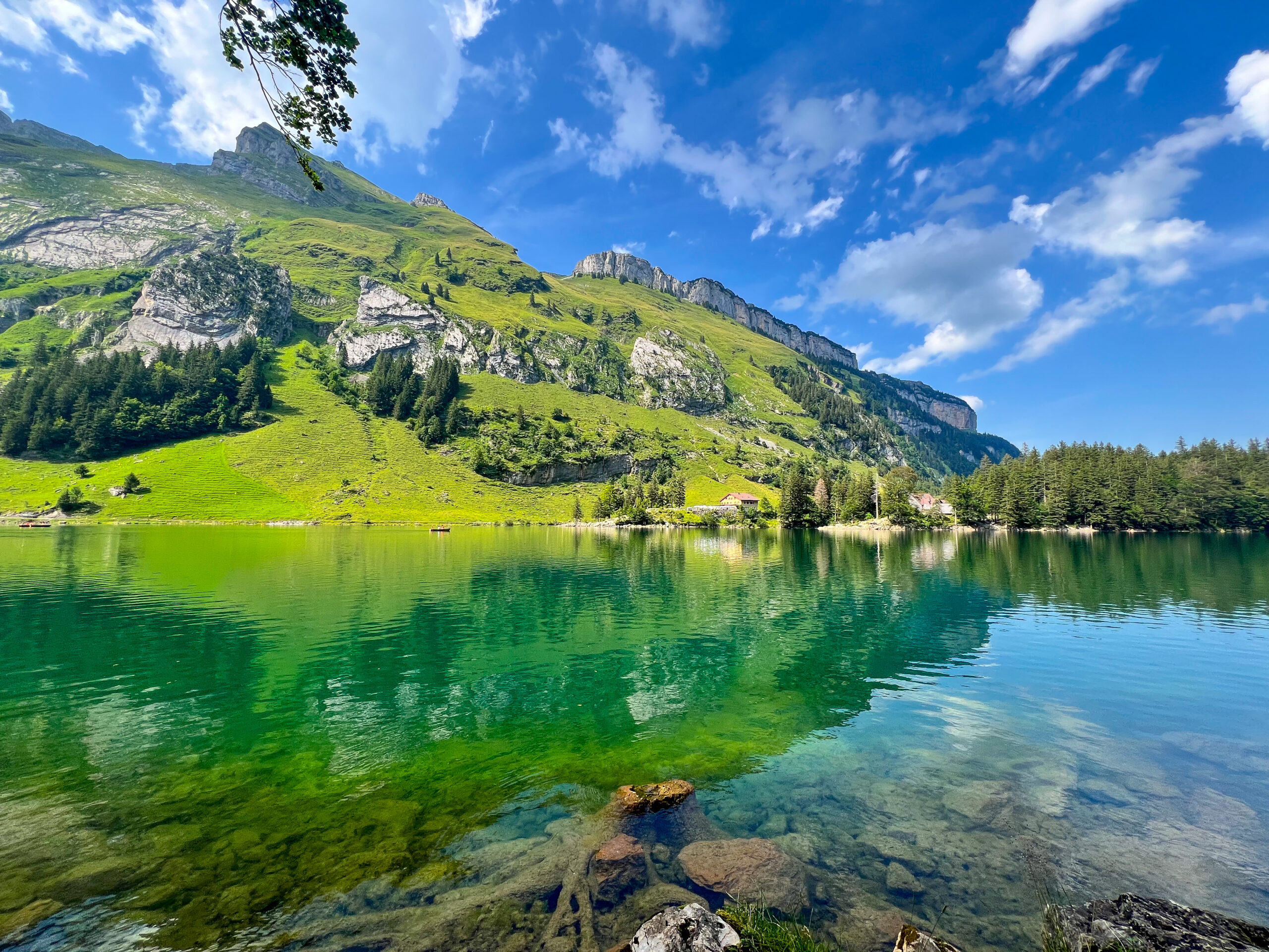
There’s something magical about hiking in Switzerland, and this particular trail combines jaw-dropping landscapes with a challenge that’s accessible to most hikers. From the pristine alpine lakes to the iconic Faulhorn summit, this hike has quickly become one of my favorites. If you’re short on time, doing the route in reverse like I did can save you a bit of effort while still offering incredible views throughout the day.
Essential Tips for Hikers
Whether you’re a seasoned solo hiker or just beginning, a few key preparations can make a world of difference for a safe and enjoyable day in the mountains.
1. Offline Navigation Tools
When hiking in remote areas like Schynige Platte, reliable internet access isn’t always guaranteed. That’s why I always plan ahead with offline maps. I download the GPX track from Outdooractive, which I then upload into my GPX Viewer app on my iPhone. This ensures that I have the entire route stored offline. So, I can stay on track even if I lose reception.
Another favorite of mine is Mapy.cz, where I downloaded the full map of Switzerland. What’s great about Mapy is that it shows all marked hiking trails offline. This makes it incredibly easy to re-plan my route mid-hike if needed. This has been a lifesaver on more than one occasion when I’ve needed to adjust my course due to weather or other factors.
2. Keeping an Eye on the Weather
Weather in the mountains can be unpredictable. I always use multiple sources to monitor it before and during my hike. My go-to sources in Switzerland are the MeteoSwiss website and SRF Meteo app. MeteoSwiss offers detailed forecasts for the entire region, while SRF Meteo gives me real-time updates right on my phone. Checking both ensures I’m prepared for any sudden changes in weather conditions.
3. Pack Smart
Besides my navigation tools, I make sure to carry enough water, snacks, and extra layers. This includes rain gear, as weather and temperatures can shift quickly in higher altitudes. Also, pack a power bank to keep your phone charged. Navigation, tracking apps, and taking photos can drain the battery faster than usual.
When preparing for the Schynige Platte hike, packing the right essentials can make or break your experience. From ensuring you have the right gear to staying comfortable on the trail, thoughtful preparation is key. To make sure you’re fully prepared, I’ve put together a comprehensive one-day hiking packing checklist that I’ve refined over the years.
By taking these precautions, even hiking in groups feels safer and more enjoyable. I hope these tips will help you feel more confident. Enjoy exploring the beauty of Schynige Platte or any other Alpine trail!